The Power of Community Engagement (and Good Lawyers) in Queen Anne’s County, Maryland
By: Kara Siglin
Retiree Bob Zillig is fighting to preserve his waterfront community’s peace, quiet, and remaining scrap of tidal and nontidal wetlands. Zillig lives along the Chester River in Grasonville, Maryland, just off Route 50 and the Chesapeake Bay Bridge. His neighborhood, Long Point Community, consists of about 80 houses that unspool on a thin strip of land between Muddy and Jackson Creeks. The peninsula has a mellow, down-to-earth feel to it, a mood that many community members are worried may soon disappear.
Zillig pinpoints his community’s battle beginning in 2006, when a local developer and lawyer, whose father had once owned the entire point, first attempted to turn the undeveloped lot at the entrance of the residential community into something greater. The developer circumvented the proper approval process, including a public hearing, by administratively pursuing two separate, smaller Maryland Department of the Environment (MDE) permits in order to fill some of the wetland and create higher ground. Community members, including Jean Sadler, were incensed at the sudden appearance of onsite bulldozers. The developer’s paperwork slight-of-hand was formally called out and the project was abandoned, put to sleep for 15 years before resurfacing just three years ago. Sadler recalled that in early 2021, when the developer suddenly submitted a nearly identical proposal for a large boat sales and repair facility on that same piece of land, she “was not surprised, but certainly disappointed.” The community, tight-knit and active, braced itself for another round.
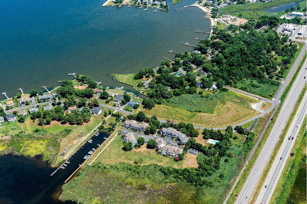
An aerial view of Long Point, with the undeveloped lot in question sandwiched between Queen Anne’s County Long Point Community Park, residential waterfront homes, and a new condominium complex. Photo by David Almy.
This time, the developer had submitted permits not only for construction of the 25,000-square-foot facility, but also to dredge and extend a residential canal, rezone the Critical Area on the property to an Intense Development Area in order to pave a larger percentage with impervious surface, reduce the shoreline buffer zone to the minimum allowed by law, and fill nontidal wetlands to construct a boat staging area. It would create a new Marine Sales and Service access point to the Chester River, which would prove useful for the New Jersey boat dealing firm, Waterfront Marine, that planned to purchase the site.
The community, which already faced rising water levels and dangerous surge tides, had concerns not only about water quality issues from the facility’s runoff, but also noise pollution, diminished homeowner privacy, and increased flooding from impervious surfaces. A community team conducted an informal gauge of neighbors’ opinions through flyers and surveys, and it was clear that the neighborhood strongly opposed the project. “People [in the community] recognize that the builder has a right to do something with the land,” said Zillig, “but it seems wrong to change the environmental regulations on it, especially to build something so environmentally obtrusive.” However, it would be difficult to formally oppose the developer’s plan without some help. This is where the Chesapeake Legal Alliance (CLA) stepped in to assist.
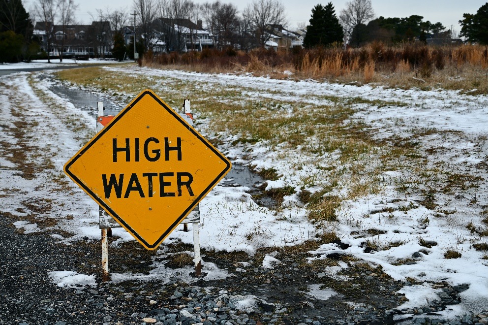
Water often covers the road directly in front of the proposed Marine facility following storm events, and neighbors worry that the flooding will only get worse.
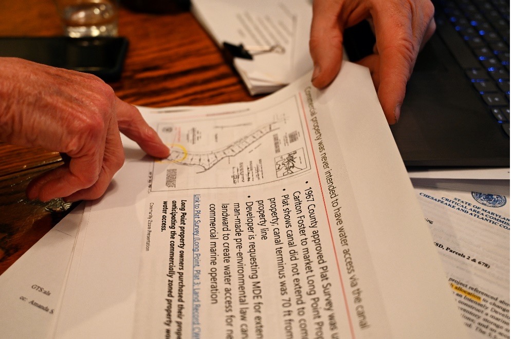
When searching for guidance, Zillig, an energetic former businessman with an emotional connection to this land stretching back to childhood, first reached out to CLA co-founder Ridgway Hall. Ridge was retired, but was happy to make the connection to CLA Staff Attorney Will Halnon. Will took the case from there, attending community and MDE meetings and creating a legal draft opposing the development. A key piece of the challenge was the property’s lack of canal access in the land’s original deeds, which had implications for its commercial use today, as well as some missing paperwork under the Clean Water Act and concerns about stormwater and wastewater runoff. Will submitted the challenge to the MDE in October 2021.
In response to the letter and community concerns raised during the MDE public hearing, the MDE placed the permit on suspension awaiting Queen Anne’s County resolution on local land use plans and the developer’s Critical Area change request. The developer has continued to work with the county to obtain these approvals. A recent informational meeting held with the community by the developer’s team was quite “boisterous,” reported Zillig, speaking to his neighbors’ vocal, emotional stake in the proceedings. Many of the community members have alternative ideas for use of the land.
“What would be fabulous is if the owner sold the property to the county so that it could be merged into the adjacent park,” Zillig proposed, referencing the community’s Long Point Park, an amenity sorely lacking in parking space. Sadler agrees that the lot would be a great park addition, although both would be satisfied with new residential buildings or an appropriately sized business there, too, for there has been development of all kinds in the area of late. Queen Anne’s County stretches from Kent Island to the eastern border of the state and so enjoys extensive amounts of waterfront along the Chesapeake Bay and its tributaries. With that fragile and valuable property comes development challenges; any land within 1,000 feet of the water is designated as a Critical Area and holds extra protections. The Chesapeake Bay Critical Area Act of 1984 allocated a certain number of Critical Area acres to every county to convert from limited development areas – such as residential lots – to intense development areas, which allow for a higher percentage of impervious surface.
Queen Anne’s County has frequently converted acreage in recent years, especially in and around Kent Island thanks to the Narrows’ crucial economic capture of Bay Bridge travelers and commuters. The most recent Critical Area change made was for a new Public Storage Facility in Chester, Maryland. Zillig, who has watched development steadily encroach on the wetlands in and around his community, isn’t quite on board. “I think in general, we need to decide not to do any more critical land area conversions unless it’s for the good of the public… There’s plenty of land to be built on that’s not within 1,000 feet of water.” Developers can also ask to reduce the minimum shoreline buffer area in their lot from 300 to 100 feet for “reasonable development.” In this case, the developer had proposed both an intense development conversion and a reduced buffer area on the lot, that, according to Sadler, would result in a “scale and encroachment on the environment that are inappropriate for this place.”
Community members cite their battle as a classic underdog story against developers and lawyers that have the resources, wherewithal, and know-how to get what they want. It’s why they’re so grateful for CLA’s legal assistance. “CLA really fills a need for small, grassroots community battles. For the bigger, more visible commercial projects, there are environmental activist groups watching,” says Zillig, “but these smaller projects can slip under the radar, unless someone is standing up.” That’s why community engagement – and good lawyers – are so crucial for this lone strip of remaining wetland and the people that want to protect it.
Kara Siglin is the Choose Clean Water Coalition’s Communications Intern.
- Bob Zillig on his pier, up for a winter paddle.
- The Zillig’s.
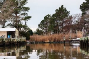
- Phragmites thrive in the tidal wetland area where Waterfront Marine is proposing their boat launch access pier at the end of a residential canal.
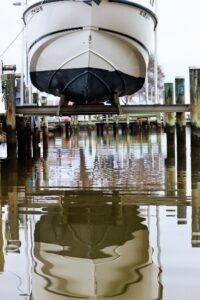
- A boat in the Long Point canal.
- Phragmites thrive in the tidal wetland area.
- Neighbor Bob Zullo on his property. Zullo says the water occasionally rises to the second level of stones on his fire pit.
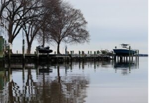
- Long Point, from the canal.
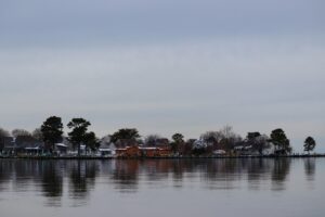
- Long Point Community.


